Press Release
New GeoPortal Site Provides Free Location Data and Mapping Resources
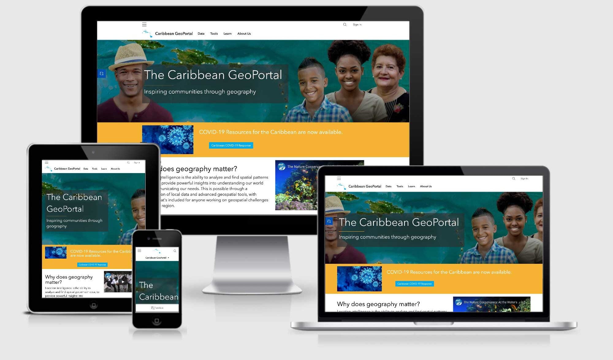
REDLANDS, Calif.—April 8, 2020—Esri, the global leader in location intelligence, today announced that it has launched the Caribbean GeoPortal, a comprehensive cloud-based platform that provides rich content and solutions from Esri and its partners. Built in collaboration with its Caribbean distributor, Spatial Innovision, the geoportal provides premium access to Esri’s ArcGIS Online software as well as geographic data and imagery for the Caribbean community. These data are able to be analyzed with ready to use spatial analytic services and open source tools.
Read Full Announcement